
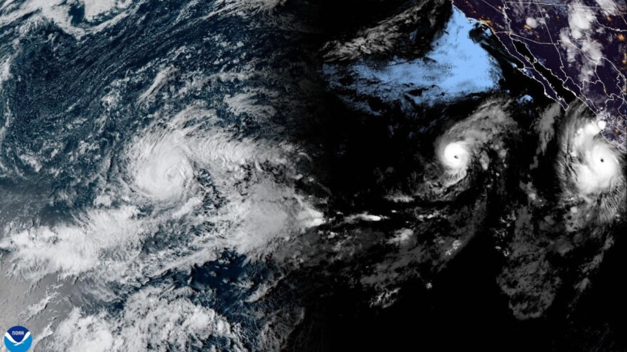
Hurricane Nolo is strengthening south of Hawaii Island as forecasters warn of a potentially dangerous combination of heavy rain, flooding, strong winds and large waves through the weekend.
The National Weather Service’s Central Pacific Hurricane Center said Nolo became a hurricane Thursday evening after reconnaissance aircraft found stronger winds and a lower central pressure. At the time of the advisory, Nolo was about 270 miles south of South Point on Hawaii Island and moving north-northeast at about 5 mph.
The most significant impacts are expected on Hawaii Island, particularly from late Friday into Saturday as Nolo approaches and then turns westward south of the island.
Quick Guide
| Category | Details |
|---|---|
| Storm | Hurricane Nolo |
| Main concern | Heavy rain, flooding, mudslides and strong winds |
| Most vulnerable area | Hawaii Island, especially eastern and southern areas |
| Timing | Friday into Saturday |
| Hawaii Island rainfall | Potentially 15–30 inches, with locally higher totals |
| Maui rainfall | Several inches possible, with locally higher amounts |
| Current alert | Hurricane Watch and Tropical Storm Warning for Hawaii County |
| Additional alert | Tropical Storm Watch for Maui County |
Nolo Expected to Strengthen
Nolo is forecast to continue strengthening as it approaches Hawaii.
The latest forecast information indicates that the storm could become a major hurricane during the weekend. Hawaii News Now, citing the National Hurricane Center, reported that Nolo could reach Category 3 strength Saturday and potentially become stronger as it passes south of the islands.
The exact strength and track can still change, making updated forecasts particularly important for residents and visitors.
Nolo is expected to continue moving north-northeast before making a sharp turn toward the west near Hawaii Island. The storm’s closest approach is expected during the Friday night and Saturday period.
Big Island Faces the Greatest Rainfall Threat
Rainfall is one of the biggest concerns associated with Nolo.
Forecast guidance has indicated that eastern and southern portions of Hawaii Island could receive 15 to 30 inches of rain, with isolated locations potentially receiving around 35 inches.
Such rainfall could produce catastrophic and life-threatening flooding, particularly in areas with steep terrain. Mudslides and rapidly rising water are also possible.
Western portions of Hawaii Island could receive several inches of rain, while additional rainfall is expected across Maui and other Hawaiian islands.
The Central Pacific Hurricane Center has emphasized that heavy rainfall will continue across Hawaii Island for several days, increasing the risk of flooding as Nolo approaches.
Maui and Other Hawaiian Islands Could Also See Heavy Rain
Hawaii Island is expected to receive the most significant rainfall, but the threat is not limited to the Big Island.
Maui could experience several inches of rain, with locally higher totals possible. Other Hawaiian islands could also receive periods of heavy rain, creating the potential for isolated flooding.
Residents throughout the state should continue monitoring official forecasts because changes in Nolo’s track or strength could alter the areas that receive the heaviest rainfall.
Hurricane Watch and Tropical Storm Warning Remain in Effect
A Hurricane Watch remains in effect for Hawaii County, meaning hurricane conditions are possible.
A Tropical Storm Warning is also in effect for Hawaii County, while a Tropical Storm Watch covers Maui County, including Maui, Lanai, Molokai and Kahoolawe.
Forecasters expect tropical-storm conditions to begin on Hawaii Island late Friday, with hurricane conditions possible Saturday.
Residents should follow instructions from local emergency officials and complete preparations before weather conditions deteriorate.
Storm Surge, Waves and Coastal Hazards
Heavy rain will not be the only concern.
Nolo is also expected to generate dangerous surf and large waves along parts of Hawaii Island’s coastline. Coastal areas could experience storm surge and water levels above normally dry ground.
These conditions can make beaches, shorelines and low-lying coastal areas particularly dangerous even before the storm’s strongest winds arrive.
What Residents Should Watch Next
The forecast will continue to evolve as Nolo approaches Hawaii.
The most important developments will be:
- Nolo’s rate of strengthening
- The timing and location of its westward turn
- The storm’s closest approach to Hawaii Island
- Changes to hurricane and tropical-storm watches or warnings
- Rainfall totals and flash-flood potential
- Conditions along exposed coastal areas
The Central Pacific Hurricane Center issues regular tropical cyclone advisories and updates during active storms.
Residents and visitors in affected areas should rely on official emergency information and the latest National Weather Service forecasts rather than older storm-track graphics or social-media posts.
Bottom Line
Hurricane Nolo is strengthening south of Hawaii as the storm approaches its most critical period for Hawaii Island.
The combination of heavy rainfall, flash flooding, mudslides, strong winds, dangerous surf and possible hurricane conditions makes Friday night into Saturday an important period to monitor.
Because Nolo’s intensity and track can still change, residents should continue following official forecasts and local emergency instructions as the storm approaches.